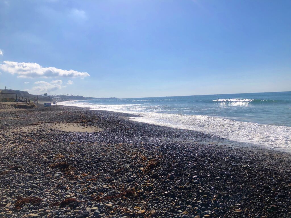
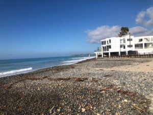
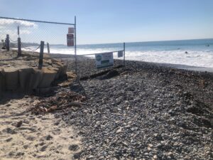
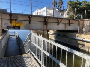
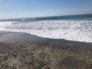
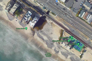
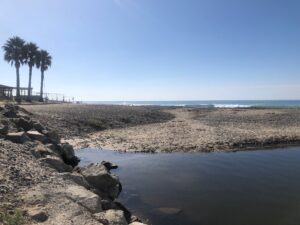
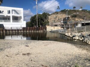
Poche Beach is a little pocket beach at the very south end of Dana Point, bordering San Clemente. On the north end of the beach, Poche Creek (or Prima Deshecha Cañada storm drain) empties to the ocean. Poche Creek is largely a drainage canal carrying runoff water from Shorecliffs Golf Club and the surrounding neighborhood, so the water can look dirty. The water quality of the Poche Creek Ocean Interface is tested weekly by OC Health. It usually shows green marks, but after heavy rains this beach scores some of the lowest and should be avoided.
On the south end of Poche Beach is Shorecliffs Beach Club. This is a private members-only beach club association for homeowners within the Shorecliff residential community.
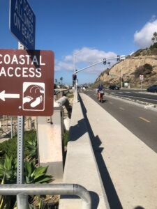
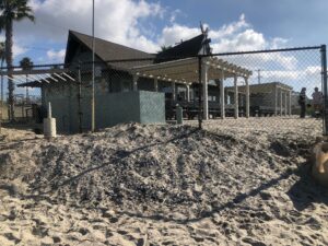
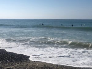
Accessing this beach can be difficult as there is no parking on the section of Pacific Coast Highway nor El Camino Real and surrounding neighborhoods along with the nearest parking lot are private. It can be popular with surfers, a stopping point on their bike ride from Doheny and Capo to T-Street looking for a prefect break.
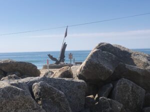
Surfers at Poche Beach
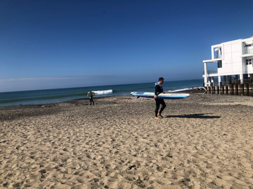
Surfer leaving Poche Beach
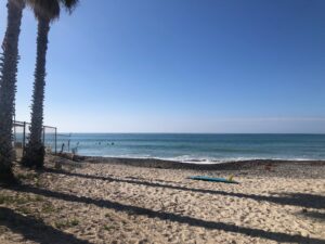
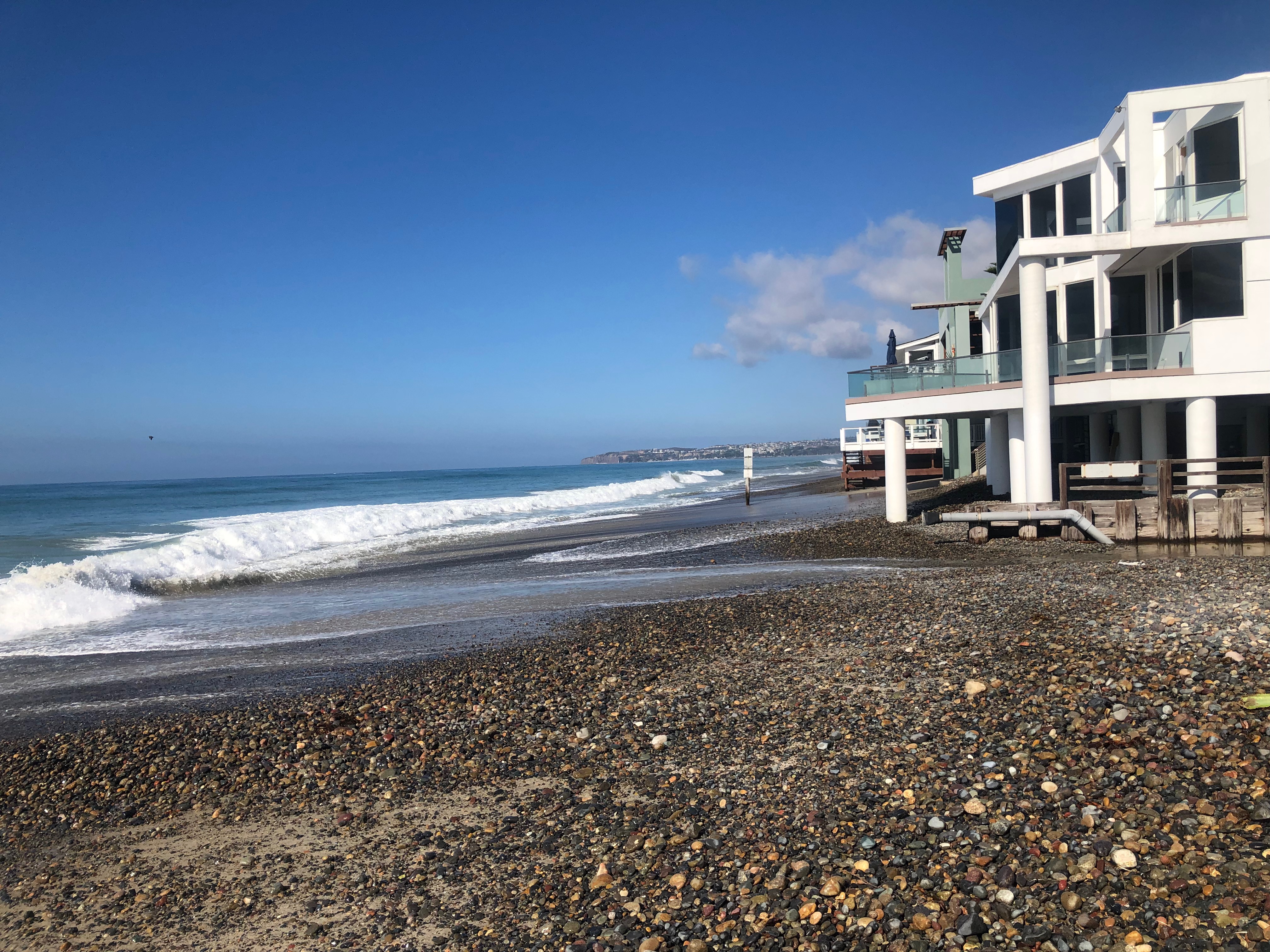
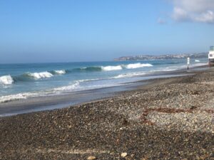
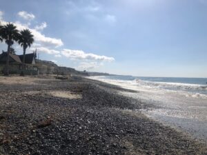
View south to San Clemente
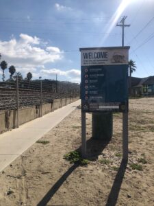
Information
Address: 2798 N El Camino Real, Dana Point, CA 92624 or 2798 N. El Camino Real, San Clemente
Hours: 6:00 AM to 10:00 PM
Parking: Some street parking along Camino Capistrano as well as the side streets in the Shorecliffs business district
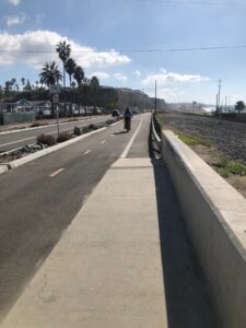
Amenities:Bike path, no facilities
Accessibility: Coast Highway Protected Trail – a bike path from Capo Beach